⚠
Accumulated positioning error
Wheel-based odometry drifts over time. QR landmarks were introduced as known reference points to periodically correct the estimated pose.
A LiDAR-based mapping and localization system for an autonomous industrial guided vehicle.
2024–2026
Prototype
Mapping Software, Sensor Processing, Interface Integration
Competition & Independent Development
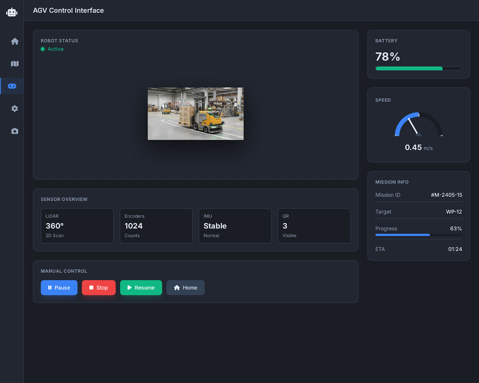
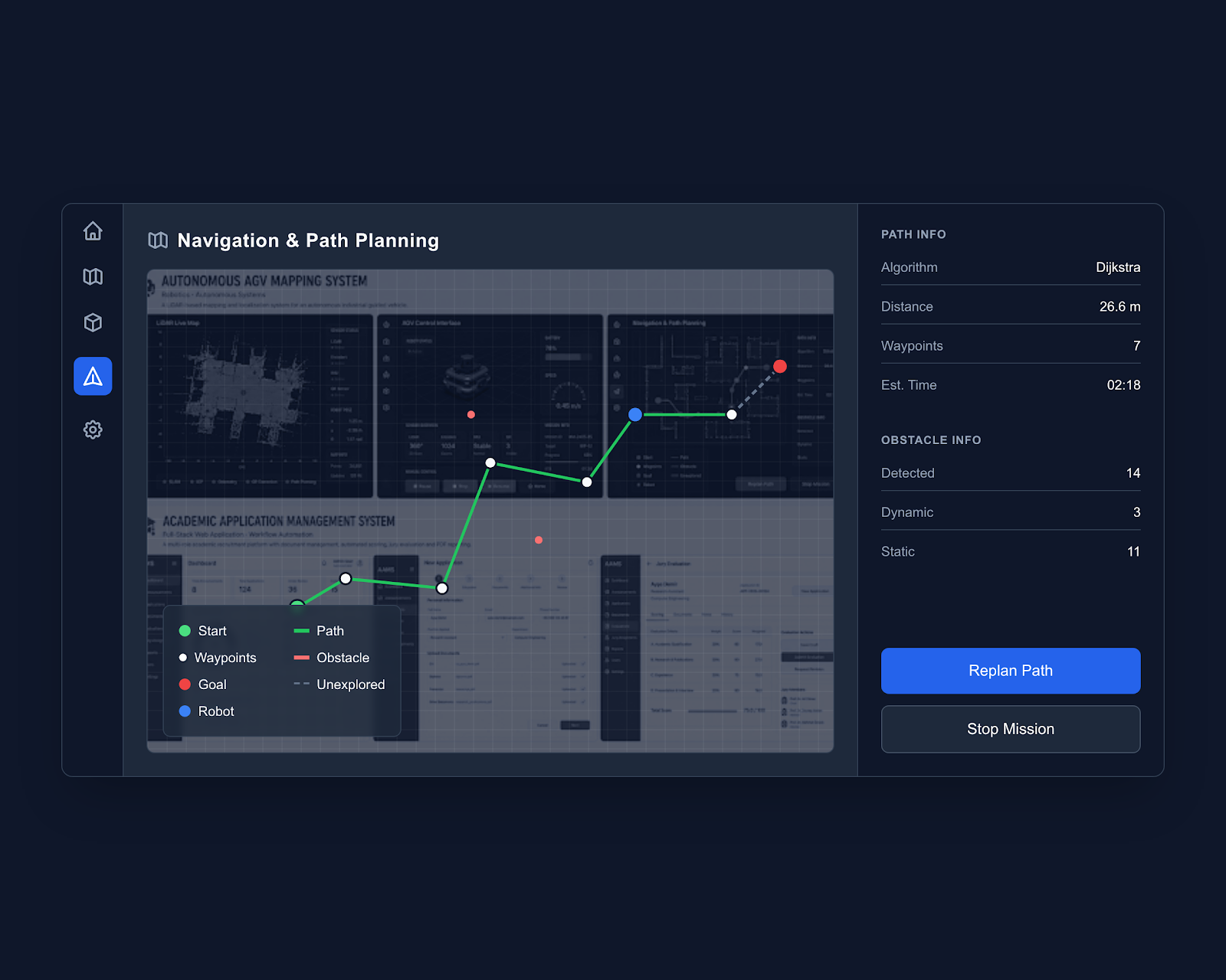
This project focuses on real-time mapping, localization and navigation for an industrial AGV. It combines 2D LiDAR scans, wheel odometry, IMU data and QR-based absolute position corrections to build a more reliable understanding of the vehicle's environment.
Wheel-based odometry drifts over time. QR landmarks were introduced as known reference points to periodically correct the estimated pose.
Raw scans may include temporary obstacles and measurement noise. Filtering and point-age logic help keep the map stable and remove stale points.
A role-based workforce planning platform designed to improve employee visibility, skill matching and operational task assignment.
Artificial Intelligence · Data ScienceA data-driven research project focused on medication waste, prescription planning, healthcare risk analysis and decision support.
Mobile Application · Artificial IntelligenceAn AI-assisted planning application that turns natural-language requests into personal and collaborative plans.
Let’s discuss the workflow, technical requirements and product direction behind your idea.
Discuss Your Project